|
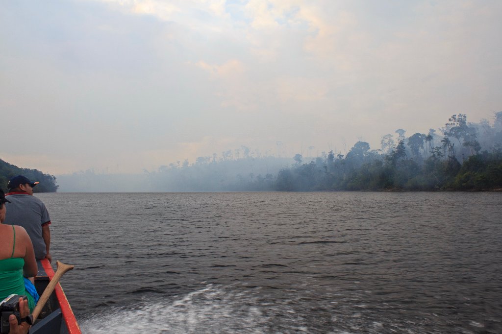 |
| Forest fire, a common phenomenon | |
| Latitude: N 6°7'8,98" | Longitude: W 62°44'3,02" | Altitude: 439 metres | Location: Mayupa | State/Province: Estado Bolívar | Country: Venezuela | Copyright: Ron Harkink | See map | |
| Total images: 70 | Help | |
|
|
|
| Forest fire, a common phenomenon | |
| Latitude: N 6°7'8,98" | Longitude: W 62°44'3,02" | Altitude: 439 metres | Location: Mayupa | State/Province: Estado Bolívar | Country: Venezuela | Copyright: Ron Harkink | See map | |
| Total images: 70 | Help | |